Port of West Sacramento
Member LoginTide Forecast

CDEC, NOAA tides, and C72 weather · Experimental model

Mid-channel Live
Conditions Tracker

Current and recent conditions in the Sacramento Deep Water Ship Channel, interpreted for anglers with transparent safeguards and scoring.

Understanding the channel
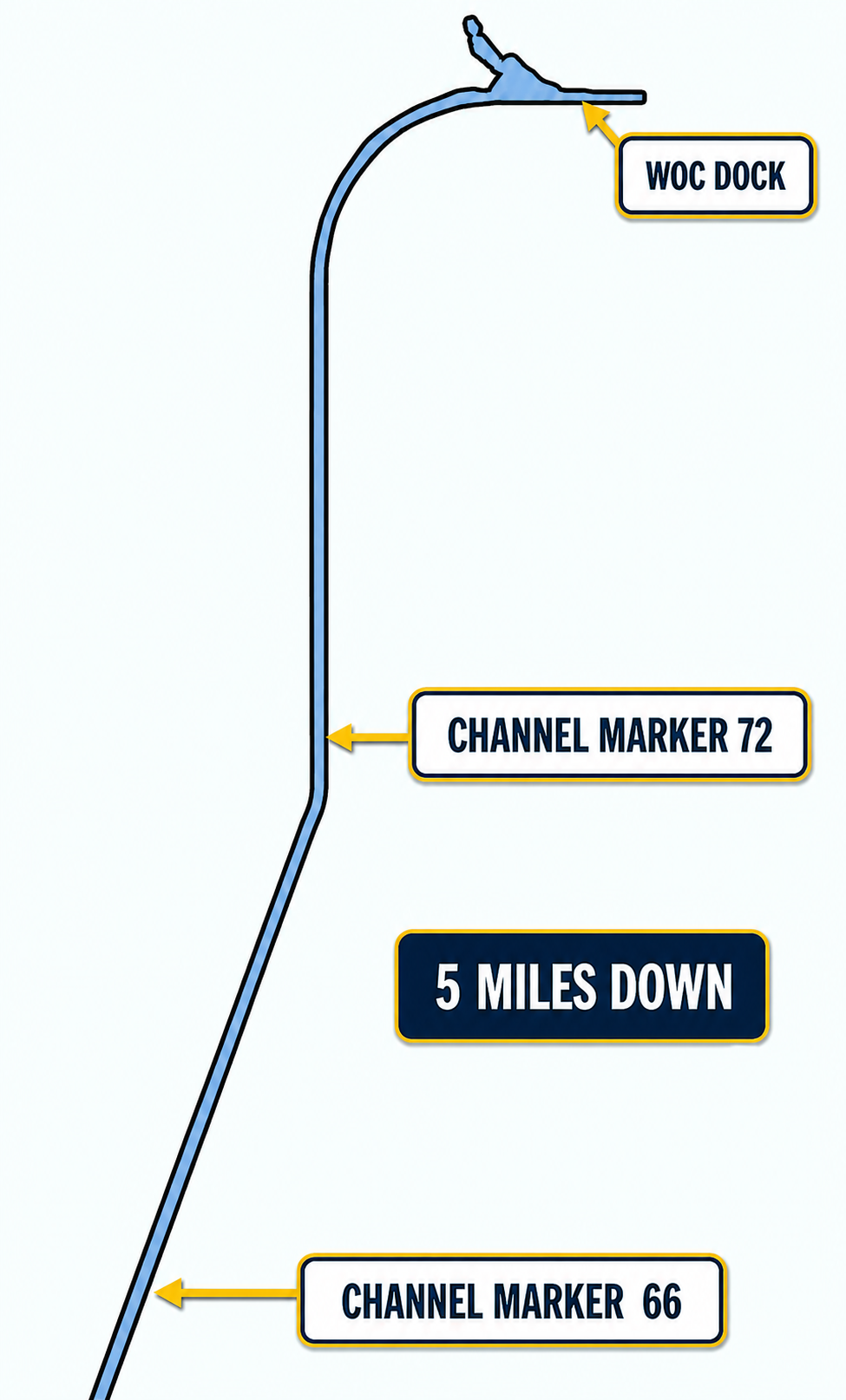
Why conditions near Marker 66 matter

Diagram of the Sacramento Deep Water Ship Channel showing the WOC dock, Channel Marker 72, the five-mile run, and Channel Marker 66
A fish survey by the USGS from 2016-2018 showed that 4 times the striped bass and about 12 times more threadfin shad were measured in the middle channel (near Marker 66) as compared to the terminal end (near our dock). The theory is that there is water mixing occurring near the middle of the Deep Water Channel in a Goldilocks zone. The water near the basin is a terminal end with insufficient exchange and renewal. On the other hand, the water near the entrance is likely being flushed too strongly and the turbidity is too high. So when searching for striper, it makes sense to try different areas from the basin all the way to Marker 66. This page is a tracker for conditions in the lower channel for you to evaluate before you make the long run towards Marker 66.

Checking CDEC event data…

The tracker is evaluating freshness, persistence, current phase, and habitat conditions.

Annual timing

Seasonal Tracker

Each tracker starts at 100 on its peak date and loses 3 points for every calendar day before or after it. Scores never fall below 0.

Spring peak

March 10

0/100

228 days from the peak date.

Fall peak

October 10

58/100

14 days from the peak date.